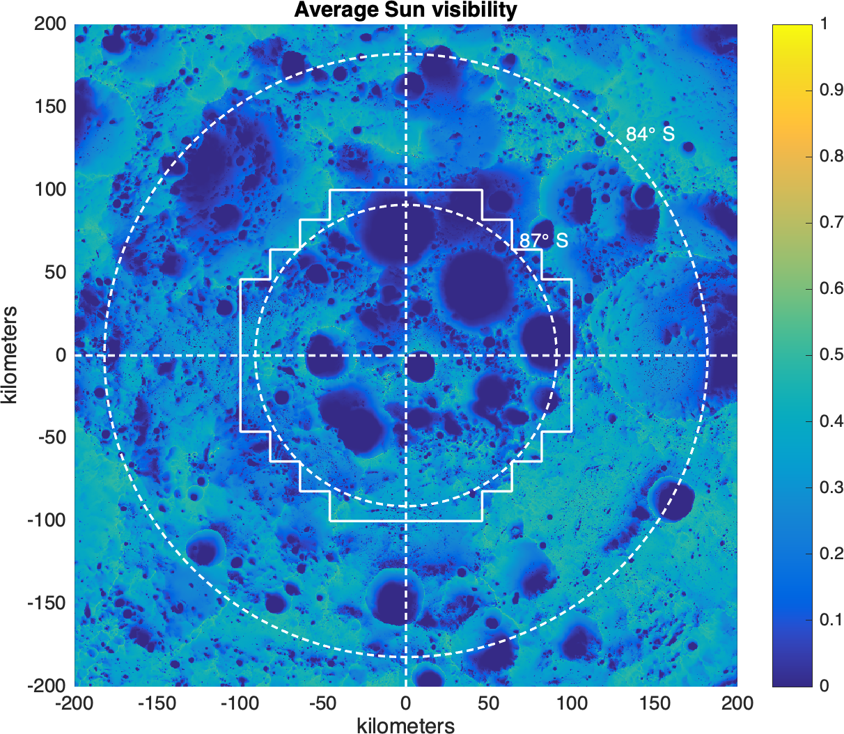
New 5 m/pix LOLA DEM Mosaic for 87 - 90 degrees South
This product was constructed from 97 individual 20x20 km fields with 2 km overlaps.
Each field was processed following the procedures described in Barker et al. (2021).
The fields were then individually aligned to the original DEM with a rigid 3-D translation
and blended together with a cosine taper weight in the overlap regions.
The counts (ldec) and slope (ldsm) maps of the individual fields were blended in the same way.
Hence, non-integer counts exist in the overlap regions of the final mosaicked product.
Data
5 m/pix GeoTiffs with south polar stereographic X/Y coords in meters, MOON_ME reference frame of ephemeris DE421.
X/Y coords follow the Generic Mapping Tools 'pixel-registered' convention (i.e., they are the centers of the pixels).
ldem_87s_5mpp: 3.3GB GeoTIFF of surface height Z (meters) with interpolation filling empty pix
ldem_87s_5mpp_hillshade: 820MB GeoTIFF hillshade of ldem
ldsm_87s_5mpp: 4.9GB GeoTIFF of surface slope (degrees)
ldec_87s_5mpp: 140MB GeoTIFF of the number of LOLA returns in each pixel (count map)
Please cite the following reference when using any of these products:
Barker et al., 2021, "Improved LOLA Elevation Maps for South Pole Landing Sites: Error Estimates and Their Impact on Illumination Conditions",
Planetary & Space Science, Volume 203, 1 September 2021, 105119, https://doi.org/10.1016/j.pss.2020.105119