Slope and Azimuth from SLDEM2015
Erwan MazaricoWe used this shape dataset to derive global maps of maximum slope and slope azimuth. While not containing additional information intrinsically, they tend to highlight other metrics of the lunar surface topography.
Here are some sample images created from the SLDEM2015 shape, slope, and azimuth maps. Click on them for higher resolution.
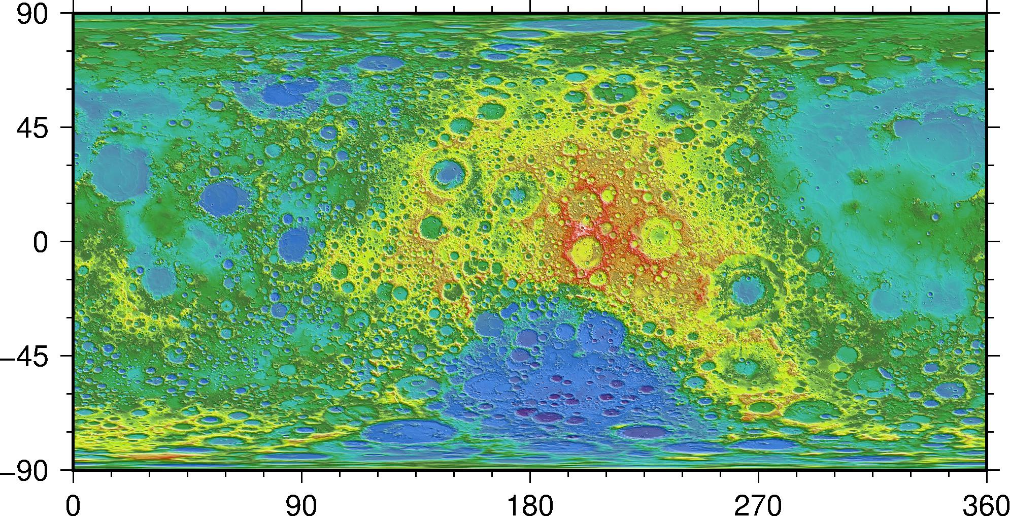
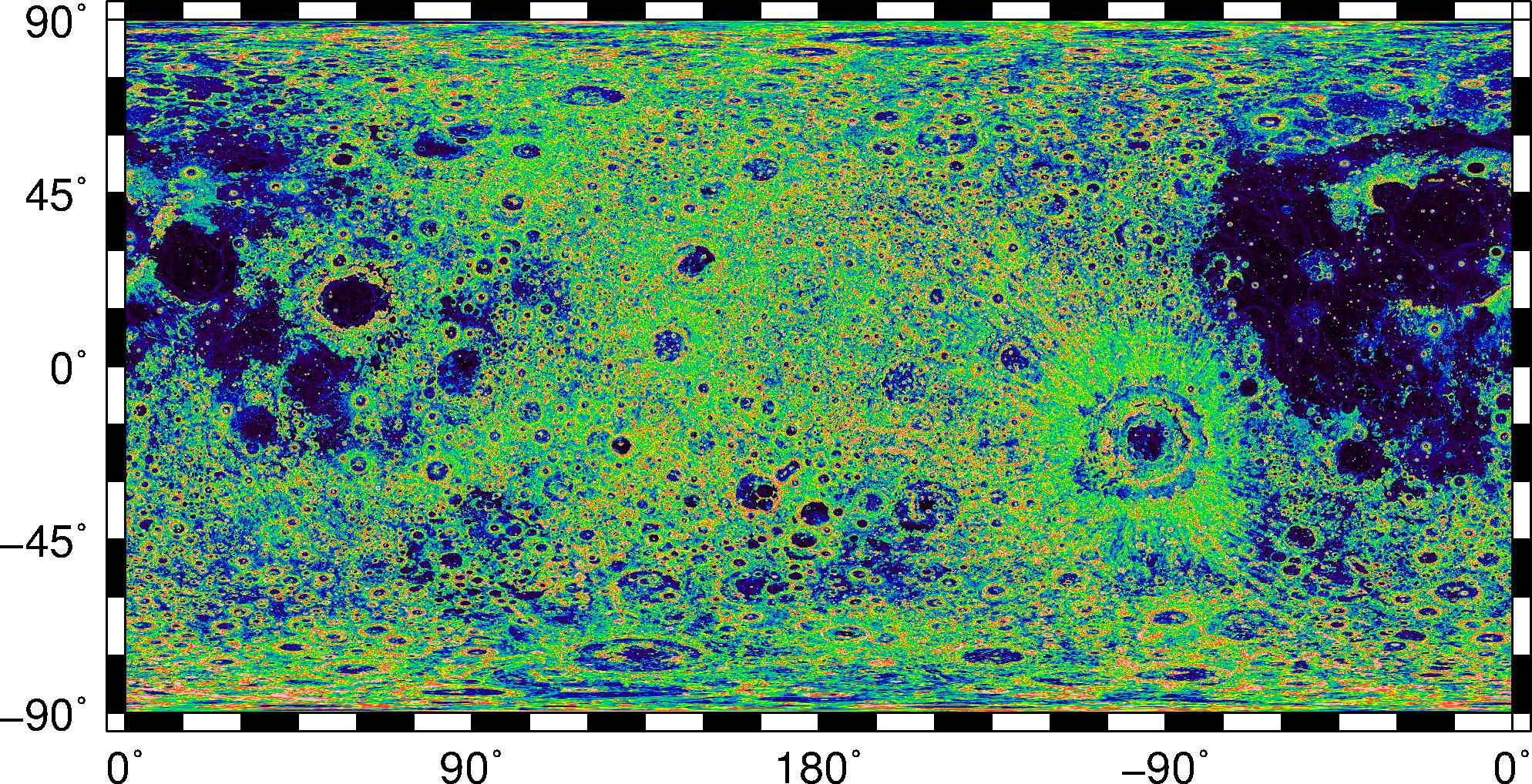
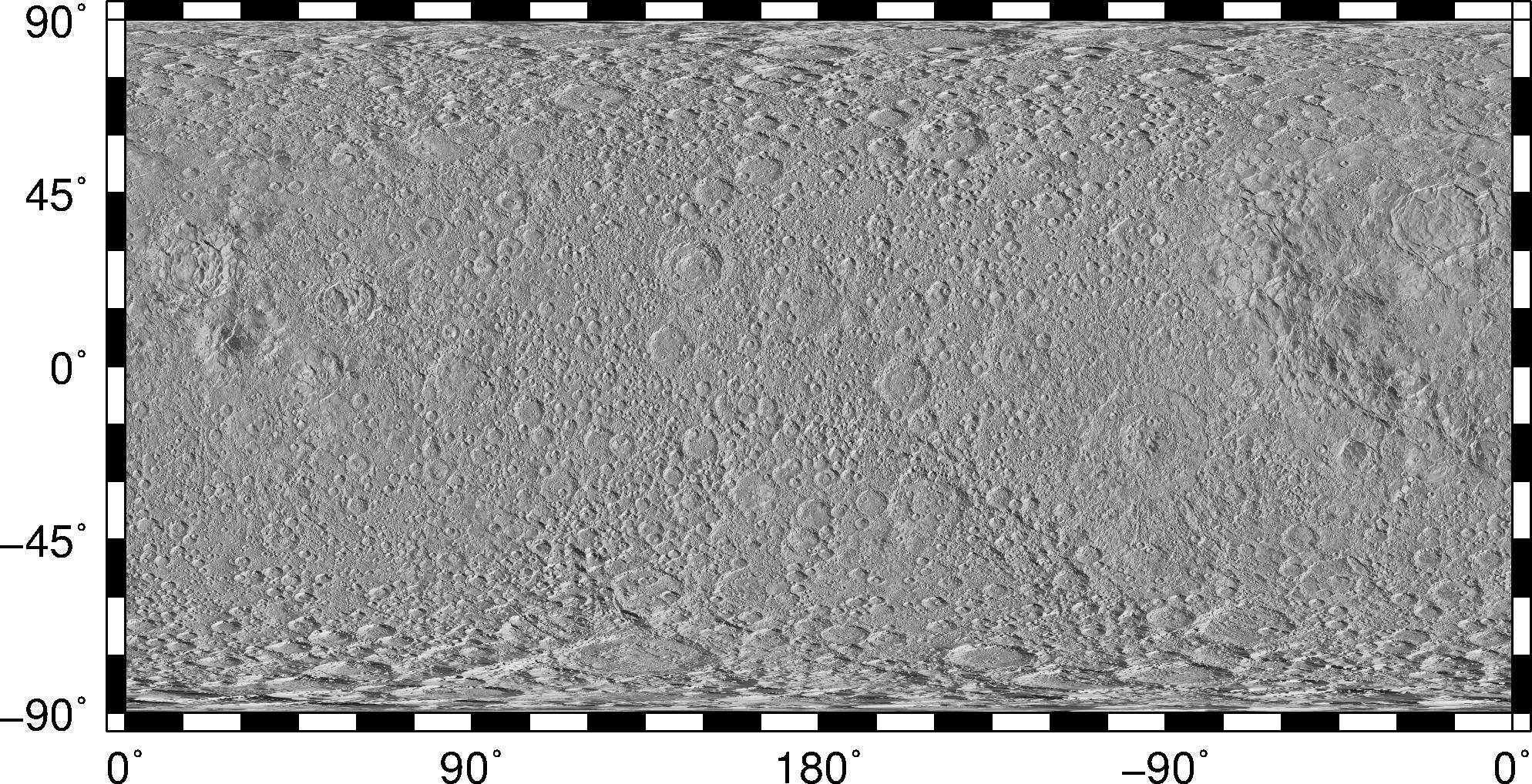
Global map.


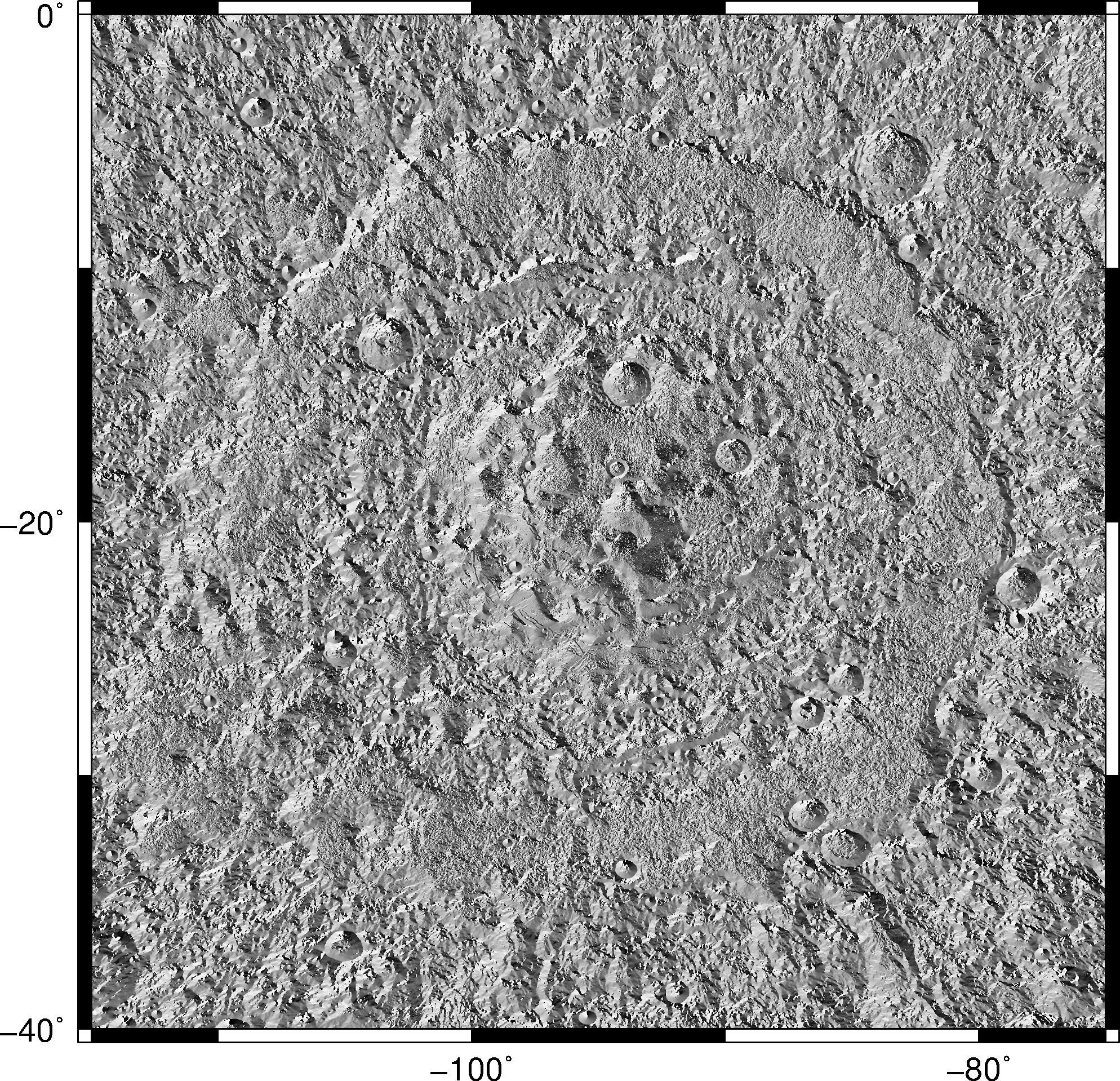
Mare Orientale.
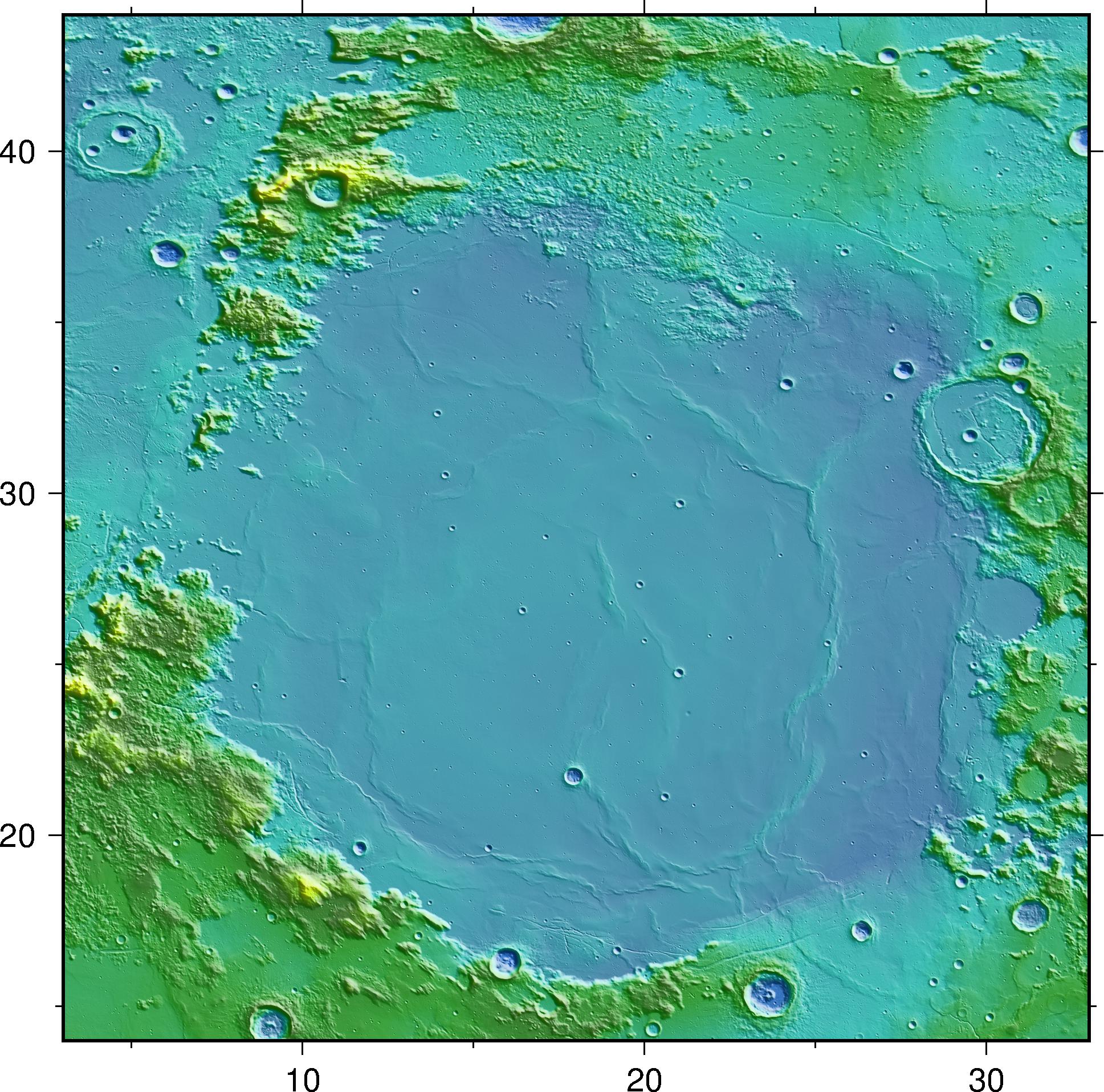

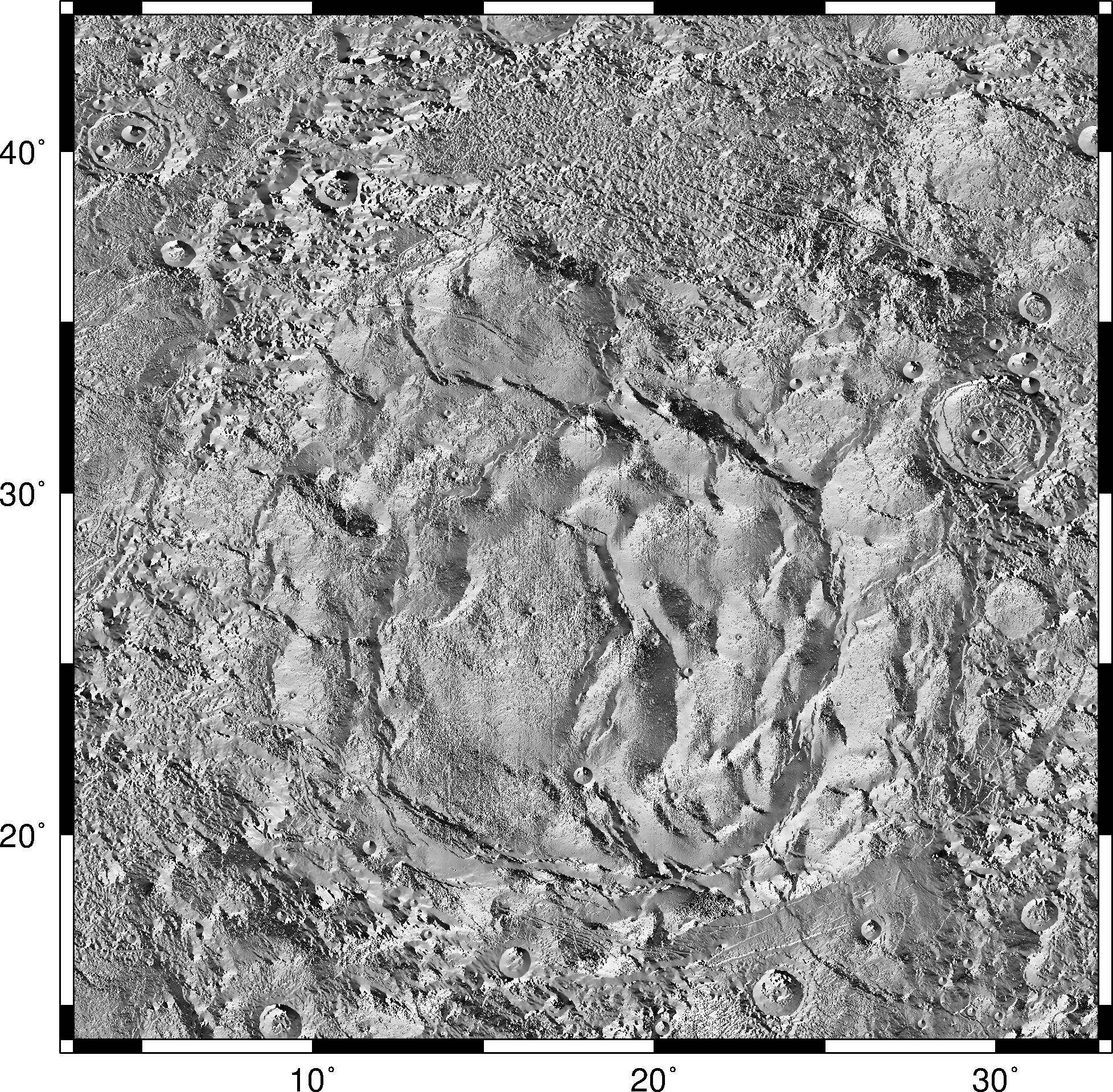
Mare Serenitatis.
Data Availability
The SLDEM2015 slope and azimuth dataset is available on the LOLA PDS node at:
http://imbrium.mit.edu/DATA/SLDEM2015_SLOPE/
The highest resolutions are available as tiled maps: 12 segments for the 256 ppd product, and 48 segments for the 512 ppd product.
Please carefully read the product labels (LBL files).
Citation
Please cite the Barker et al. (2016) reference below if you use these products in your scientific work.
References
Barker, M.K. et al., 2016. A new lunar digital elevation model from the lunar orbiter laser altimeter and SELENE terrain camera, Icarus, 273, pp. 346-355. http://dx.doi.org/10.1016/j.icarus.2015.07.039
Haruyama, J. et al., 2012. Lunar global digital terrain model dataset produced from SELENE (Kaguya) terrain camera stereo observations. In: Lunar and Planetary Science Conference, p. 1200.
Rosenburg, M.A. et al. 2011. Global surface slopes and roughness of the Moon from the Lunar Orbiter, Journal of Geophysical Research, Vol. 116, E02001, http://dx.doi.org/10.1029/2010JE003716.